
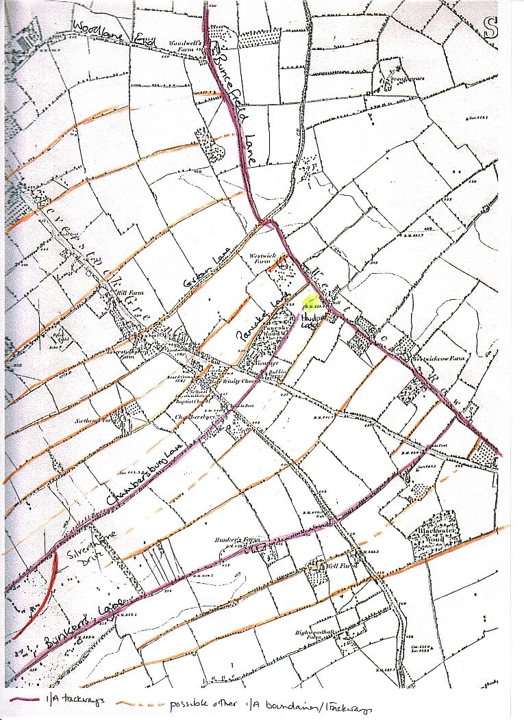
Map Showing Possible Iron-Age trackways in the Leverstock Green Areas |
It has long been established that the field patterns still visible in the late 19th century, and to some extent today in the early 21st century, in the Chiltern area resembling long open S shapes, date back to medieval or possibly earlier times. Recent finds suggest that these boundaries and track ways date back to the pre-Roman period - as Roman roads/tracks dissect the field boundaries in places. The above map shows the boundaries of some of these fields based on the evidence of the 1877 OS map which has been used. |