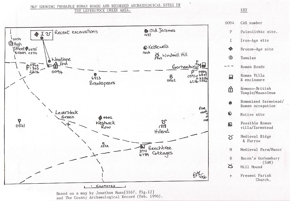
1996 Map showing the then known Roman Roads & recorded Archaeological Sites in the Leverstock Green area..

© Barbara Chapman 1996
Although the bove map is still esentially corect as far as the routes of the Roman roads go, new evidence has since shown a Roman Villa to have been situated within Leverstock Green itself at Handpost Lodge. See updated SMR map of central Leverstock Green.