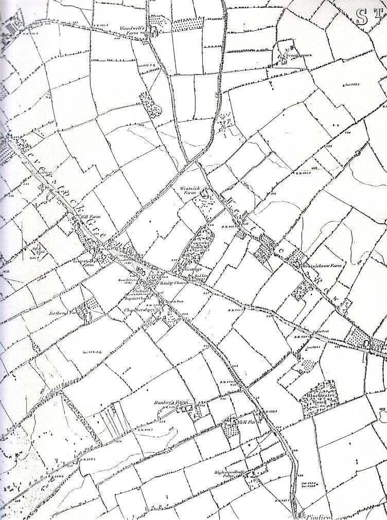
1877 6in:1 mile Ordnance Survey Map showing Leverstock Green Area
Scroll down to see same map extending further west.
1877 6in:1 mile Ordnance Survey Map showing Leverstock Green Area
Covering an area a little to the west of the above map.
N.B. Leverstock Green went as far as the Saracens Head (top left of map), where it became High Street Green.
This was the name of the areas as well as the road.